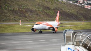
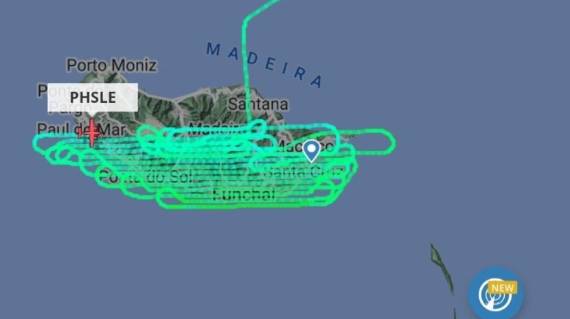
An aircraft that left Porto Santo shortly after noon today and was seen flying up and down the south coast from west to east created a lot of curiosity among those who were using Flightradar 24 to track its movements.
Later a government source confirmed to JM that the light aircraft was carrying out a survey for the Regional Directorate of Spatial Planning. Led by Ilídio Sousa, the photogrammetry work is being used to update the region’s orthophoto maps.
Ilídio Sousa says that orthophoto maps contain rigorous images of the terrain, which present real images of large expanses of the earth’s surface. That is, the map produced from an orthorectified aerial photograph, does suffer distortions caused by the relief and tilt of the camera.
The images should be available next year.
Samantha Gannon
info at madeira-weekly.com
Photo: JM/Flightradar 24