
The Portuguese Institute of Atmosphere and Sea (IPMA) predicts that until midnight on Sunday, Depression Jana will affect Madeira with wind, rain, and rough seas. This is in addition to the expected cold front the storm is pushing through.
In the statement, the IPMA predicts that Madeira will continue to experience stormy conditions until tomorrow night. Rain is expected to turn into snow at altitudes above 1500 m.
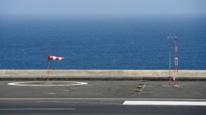
The wind will blow from the northwest, moderate to strong, with gusts up to 85 km/h, and may reach 110 km/h in the highlands. This should decrease tomorrow, although sea agitation is expected to increase with waves on the north coast reaching 11 metres in height. Although the south coast is less affected, waves have been calculated to reach an estimated 4 to 5 metres.
As such, the IPMA has issued a yellow weather warning for wind and rain and an orange alert for sea agitation.
Already, temperatures have hit record lows, with the Pico do Areeiro weather station recording -2.0ºC at 04:00 this morning, and the Funchal observatory registering 12.7ºC at 04:50.
Samantha Gannon
info at madeira-weekly.com
Views: 2